
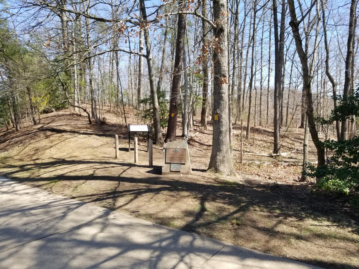
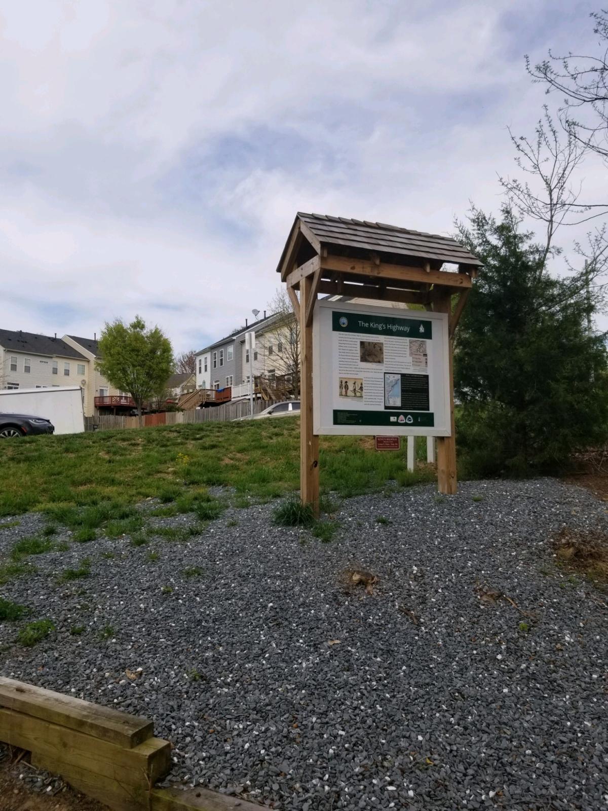
Two traces of the vital colonial travel artery survive today and are available for hiking. Native Americans created this path close to the Potomac River in their travels, with European settlers following in their literal footsteps. Under the command of King Charles II, it was transformed into part of the King’s Highway, a road to connect as many colonial seats of government as possible for ease of government communications. During the Revolution, this route was used to move important goods, soldiers, and officials through eastern Virginia. However, Generals George Washington and the Comte de Rochambeau most famously traveled it, followed by their army’s supplies, on the way to victory at Yorktown in 1781.
A section of the King’s Highway can be seen at the following two addresses.
2201 Vantage Drive, Woodbridge, VA 22191
The historical marker can be found at the following GPS coordinates 38° 39' 29’ N * 77° 14’ 93’ W
2114 Rippon Boulevard, Woodbridge, VA 22191
The historical marker can be found at the following GPS coordinates 38° 37’17′ N * 77° 16’ 67′ W

Subscribe
Sign up for our newsletter to learn more about events, promotions, and special offers


Cookies are used for measurement, ads, and optimization on VisitPWC.com. By continuing to use our site you agree to our privacy policy.