Your browser is not supported for this experience.
We recommend using Chrome, Firefox, Edge, or Safari.
Revolutionary War History Trail
In 2026, the United States and the Commonwealth of Virginia will commemorate the 250th anniversary of the American Revolutionary War.
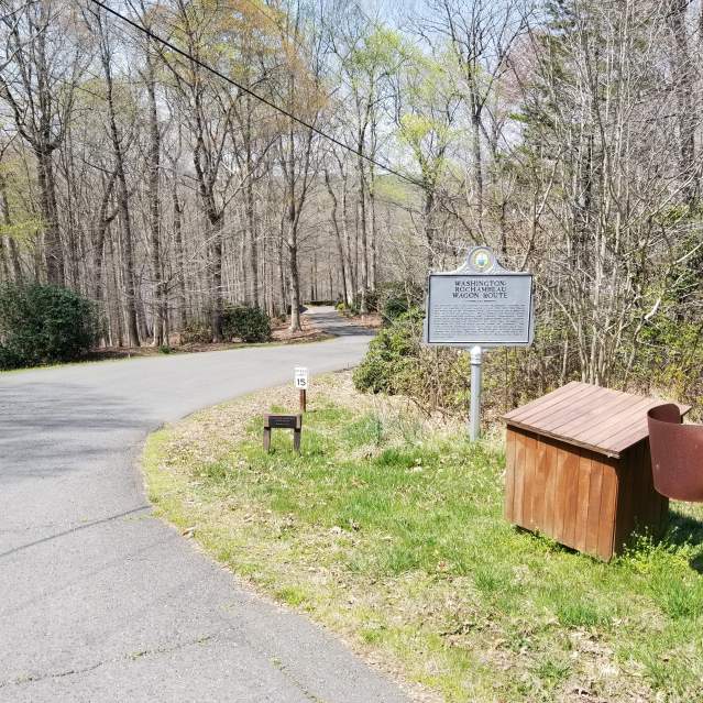
Explore the 12 sites within Prince William & Manassas, Virginia designated as part of the Revolutionary War History Trail. The Revolutionary War History Trail connects visitors with the great campaigns and lesser-known sites of the Revolutionary War. Illustrated signs combine storytelling with historic images at each historic site.
Virginia Revolutionary War Trails Sites & Marker Locations
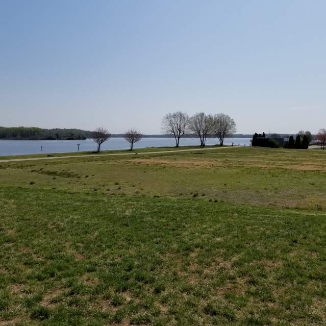
Belmont Bay (Colchester Ferry)
- 530 Harbor Side Street
Colchester Ferry was a key crossing point over the Occoquan River near Belmont Bay in the 18th century. With the lack of developed bridges, ferries and fords were needed to cross waterways. In September 1781, Colchester Ferry and its nearby fords were utilized by Generals Washington and Rochambeau on…
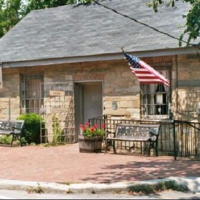
Occoquan/Mill House Museum
- 413 Mill Street
Occoquan is a town closely linked to the river that shares its name. Water provided the native people who lived in the area a bounty of food and living space. Taking advantage of the power in local waterfalls, the town’s first grist mill opened in 1757, joining an ironworks from 1749. In 1759 it was…
Wolf Run Shoals
- Wolf Run Shoals Road
Once one of the Occoquan River fords, today the impoundment of the reservoir has covered up the shoals, or sandbanks, that made it possible to cross here. The name derives from the creek on the Fairfax side, Wolf Run, now part of a regional park. At the time of the Revolution, it was considered one…
William Grayson’s Tomb
- 2338 West Longview Drive
William Grayson (b.1736) was one of Prince William County’s most distinguished politicians and soldiers during the Revolutionary War era. Grayson was extremely active in local politics in the years leading up to the Revolution, signing both the Leedstown Resolutions and Prince William County Resolves…
King’s Highway
- 2201 Vantage Drive
Two traces of the vital colonial travel artery survive today and are available for hiking. Native Americans created this path close to the Potomac River in their travels, with European settlers following in their literal footsteps. Under the command of King Charles II, it was transformed into part of…
Rippon Lodge
- 15520 Blackburn Road
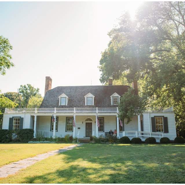
Rippon Lodge is a colonial-era home and farm located along Neabsco Creek. In the 18th century, waterways were crucial for transportation and trade, serving in the absence of any developed highway systems. One road that did pass nearby was the King’s Highway. On September 28, 1781, on its way to…
Neabsco Creek Boardwalk
- 15125 Blackburn Road
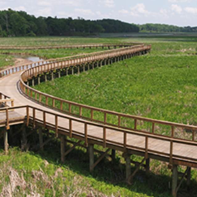
Neabsco Creek was reshaped by the colonial era industry dependent on its waters. To the Dogue people it had been a pantry, with all kinds of fresh food right on hand. For colonists it was a source of industrial power and transportation. The Lee family fished at its mouth, the Blackburns operated a…
Leesylvania State Park
- 2001 Daniel K. Ludwig Drive
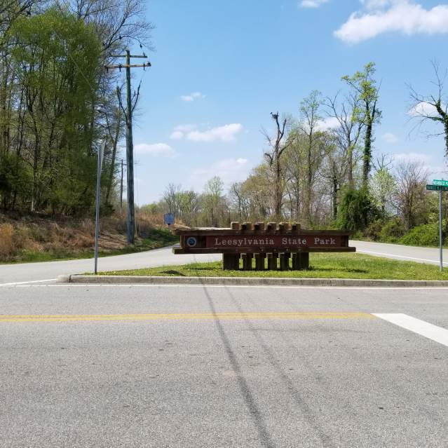
Lee’s Woods is a more accurate name today than it likely was when the original manor house was built in the 1750s by Henry Lee II. Lee used enslaved labor for his tobacco plantation as well as his fishery that harvested shad from the Potomac River. He served as a Member of the House of Burgesses, the…
Dumfries Courthouse
- intersection of South Fairfax Street and Duke Street
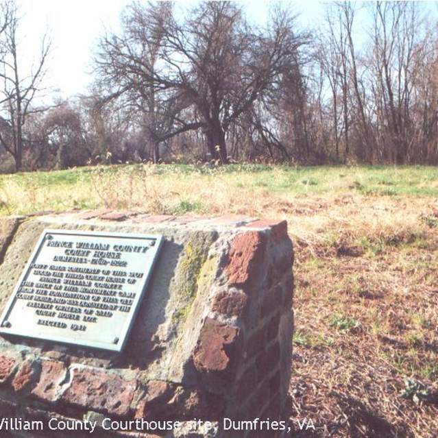
Prince William County built its third county courthouse on this site in 1762. This courthouse served as the county seat until 1822 when a new courthouse was built at Brentsville. The Dumfries courthouse was where the Prince William Resolves were drafted in 1774. These resolutions supported the…
Weems Botts Museum
- 3944 Cameron Street
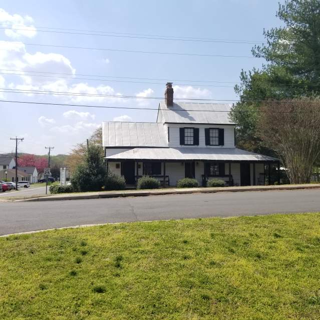
Mason Locke Weems, better known as “Parson” Weems, was a 19th century writer and book agent. He authored several works on the Revolutionary War era, including, The Life of Washington (1800), Life of Francis Marion (1805), and Life of Benjamin Franklin (1817), the former perpetuating many popular…
Prince William Forest Park
- 18170 Park Entrance Road
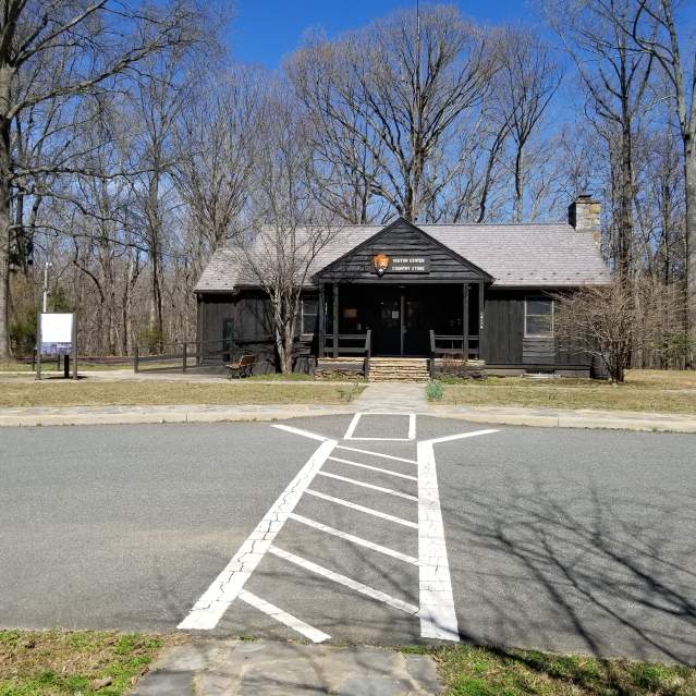
Inland from the seaport at Dumfries, the road came down through Dumfries and rose from a ford on Quantico Creek near the modern I-95 bridges before it entered what is today Prince William Forest Park. On the return march after the Battle of Yorktown, French troops camped in this vicinity. Fifer…
National Museum of the Marine Corps
- 1775 Semper Fidelis Way
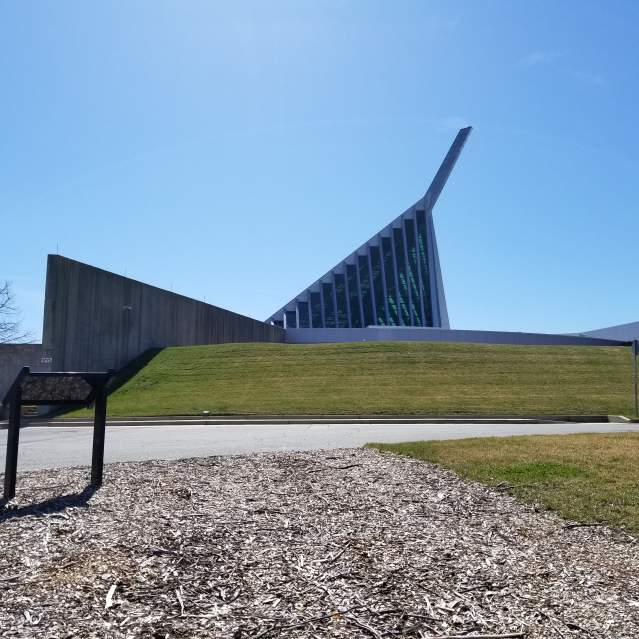
Although British General Charles Cornwallis’s army had surrendered to the Franco-American army at Yorktown in October 1781, British and Hessian forces remained in America. The main British army, under Sir Henry Clinton, still occupied New York City and needed to be monitored and contained. Most of…
Locust Shade Park
- 4701 Locust Shade Drive
The King’s Highway, which passed through modern-day Woodbridge, Dumfries, Triangle, and Quantico Marine Corps base in the 18th century, played a significant role in daily life and military operations in Prince William County. The road was utilized by local farmers, plantation owners, and merchants to…

